Satellite boosts early disaster warnings
China Daily, June 16, 2025 Adjust font size:
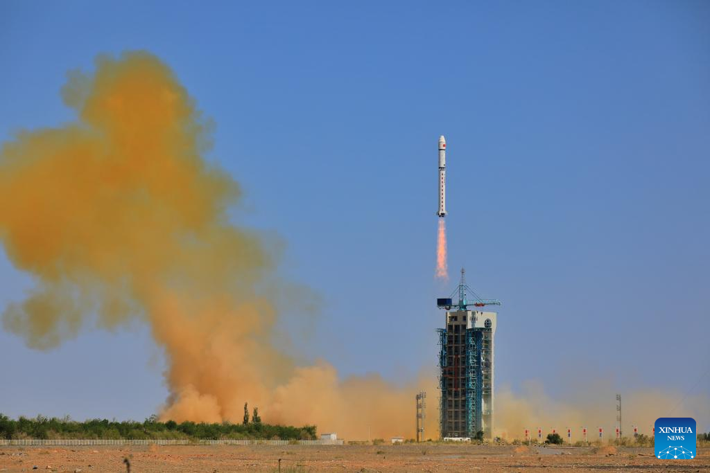
A Long March 2D carrier rocket carrying Zhangheng 1B satellite, an electromagnetic monitoring satellite jointly developed by China and Italy, blasts off from the Jiuquan Satellite Launch Center in Northwest China on June 14, 2025. [Photo/Xinhua]
China launched an electromagnetic monitoring satellite into space on Saturday to enhance the country's ability to predict natural disasters. The satellite was jointly developed with Italy.
A Long March 2D rocket carrying the satellite blasted off at 3:56 pm from the Jiuquan Satellite Launch Center in China's northwestern Gobi Desert, according to the China National Space Administration.
The satellite, named Zhangheng 1B, was successfully placed into its predetermined orbit. It is the first Chinese satellite dedicated to surveying Earth's geophysical fields.
The administration stated that the satellite's deployment marks an achievement in improving China's space-based geophysical field observation capabilities and will strengthen its integrated space-air-ground monitoring for major natural disasters.
The Zhangheng 1B is a result of a cooperation memorandum of understanding signed between China and Italy in 2019.
Designed with a six-year life span, the satellite carries nine scientific payloads, including an electric field detector codeveloped by the two nations and a high-energy particle detector developed by Italy.
The spacecraft will conduct near real-time measurements of global electromagnetic fields, electromagnetic waves, the ionosphere and the neutral atmosphere. It will also capture electromagnetic anomalies caused by geological and human activities, as well as information on thunderstorms and lightning.
It will enhance China's ability to make early detections and risk assessments and warn of massive natural disasters such as earthquakes, tsunamis, volcanic activities and thunderstorms.
Additionally, the satellite will provide data support for emergency management, natural resource mapping, and communication and navigation operations. It will also foster scientific and technological cooperation among countries involved in the Belt and Road Initiative, the administration said.
Peng Wei, an official at the space administration in charge of the Zhangheng 1B project, said the satellite is designed to primarily monitor Earth's electromagnetic waves and fields, which are linked to seismic activities and electromagnetic patterns. It will also observe the structure of Earth's ionosphere and neutral atmosphere, with collected data used for early warnings of extreme weather events.
"Zhangheng 1B was jointly developed by China and Italy. Through cooperative efforts, including joint design and data sharing, the two nations aim to enhance their monitoring of electromagnetic harbingers before earthquakes, and support disaster prevention and mitigation for both countries and the global community," Peng said.
The Zhangheng 1A satellite, also known as the China Seismo-Electromagnetic Satellite, was a Chinese-Italian joint venture launched in February 2018 and remains operational. It contains six instruments that measure the electromagnetic effects of earthquakes worldwide.
The Zhangheng 1B builds on its predecessor's technical configuration but features optimized payloads and can measure a broader set of physical parameters. Operating in different phases within the same orbital plane, the two satellites will conduct coordinated observations, improving the spatiotemporal resolution of observations, designers said.
Like the Zhangheng 1A, the new satellite will be primarily used by China's Ministry of Emergency Management.
Both spacecraft are named after Zhang Heng, an ancient Chinese inventor who created the first-ever seismoscope nearly 1,900 years ago.
China and Italy signed an intergovernmental agreement for scientific and technological cooperation in 1978, making Italy one of the first Western countries to establish a partnership with China in the science and technology field.